
Between the shore
and the hills.
A 215,536 m² family property at Cap Diego, in the bay of Diego Suarez.
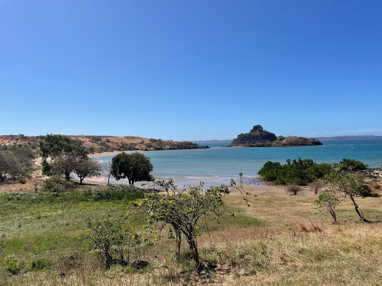
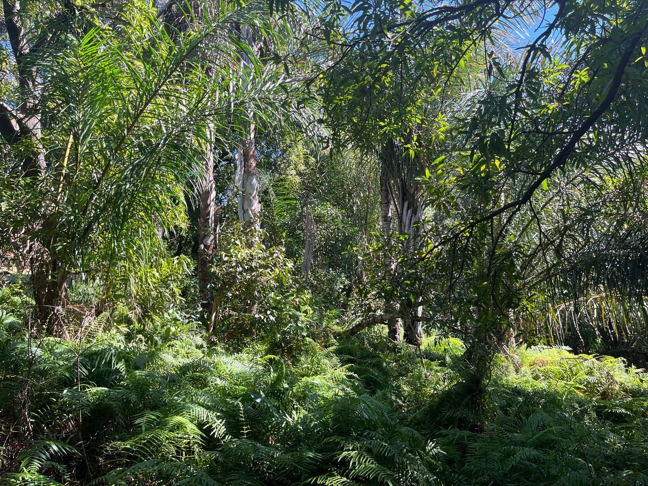
From the shore to the wooded slopes
The property brings together a sandy shoreline, wooded areas and higher ground overlooking the bay. The 2017 appraisal distinguishes three levels of terrain: the waterfront, the hillside and the heights. These describe the landscape, rather than approved building plots.
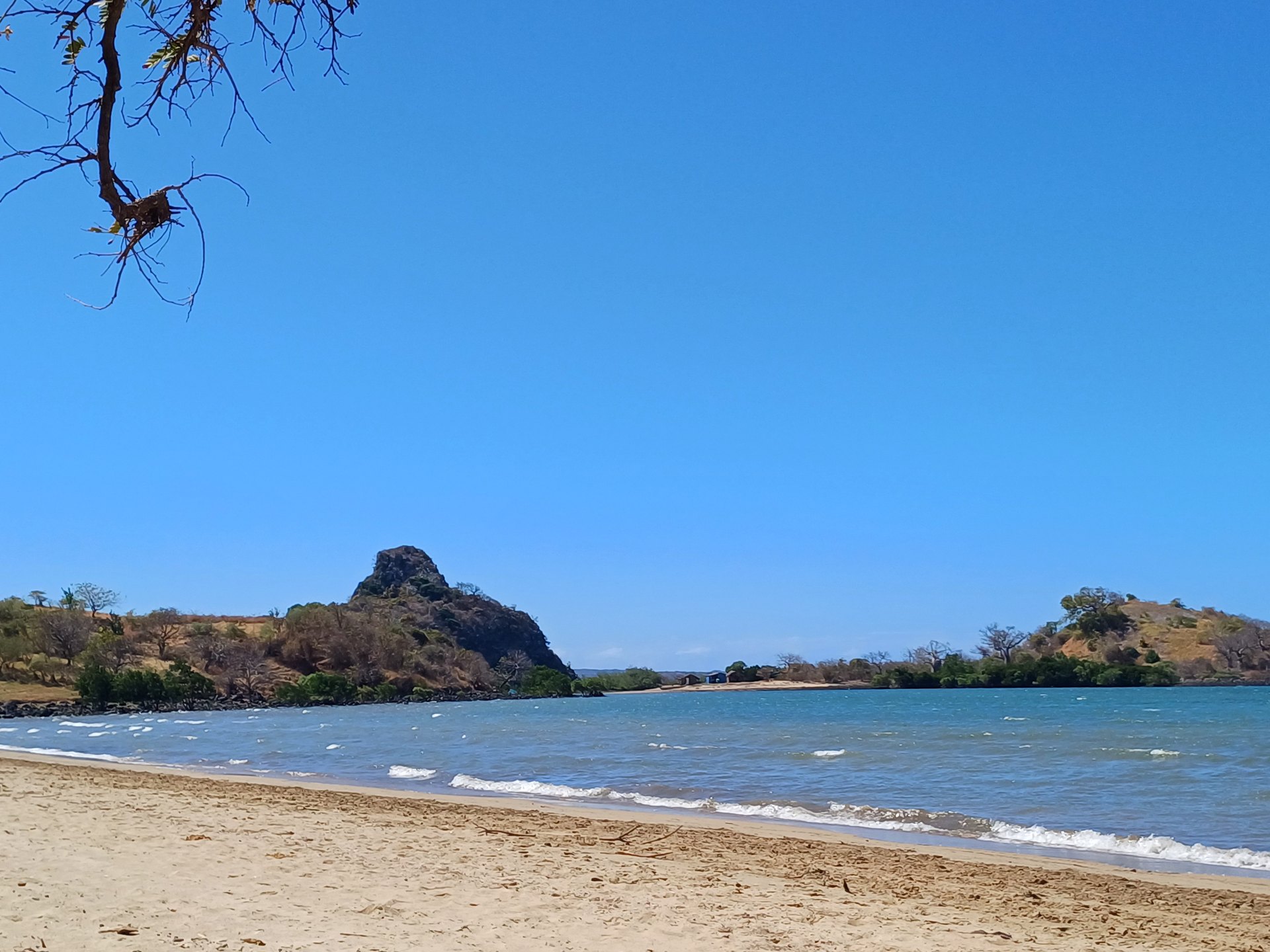
The family photographs show different atmospheres within the estate: trees beside the shore, more open ground and views towards the rocky islet. A site visit is the best way to understand the slopes, distances and relationship between these spaces.
The practical details.
A clear starting point for your first conversation with the family.
- Area
- 215,536 m², approximately 21.5 hectares.
- Location
- Cap Diego, Antsiranana (Diego Suarez), northern Madagascar.
- Access
-
A daily shuttle service runs from the port of Diego Suarez to Cap Diego, located 12 km from the property, which can then be reached via an unpaved track.
- Water
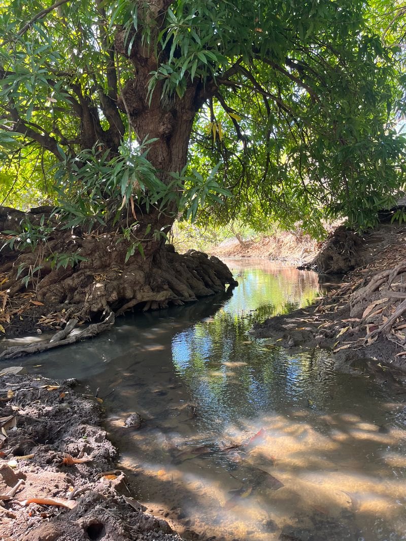
- A natural spring reported by the family to flow year-round. No recent flow measurement or water-quality analysis has been supplied.
- Electricity
- No electricity connection.
- Existing building
-
The caretaker’s house, located on the coastal public land outside the property boundaries.
- Property documents
- The 2017 valuation describes titled and surveyed land. Current documentation is available for review on request.
Current access conditions, legal documentation and project requirements should be reviewed with the family before a purchase.
A natural spring
to understand.
The family reports year-round flow. Flow measurements, water quality and permitted uses would need to be established for any future project.
A property with a history
The family dossier includes a topographical plan, a 2017 appraisal following a November 2016 visit, and an older hotel study. Together they provide a starting point for understanding the site and discussing a future project. The hotel study is a historical proposal, not a current development approval.
Planning a visit
A visit can focus on the shoreline, the wooded areas, the higher viewpoints, the spring and the access track. It is also an opportunity to inspect the caretaker’s traditional dwelling and discuss water, power and access requirements with the family.
Discuss a visitFind your bearings.
On the coast of Cap Diego, across the bay from Antsiranana. Visits are arranged with the family, by boat or via the track.
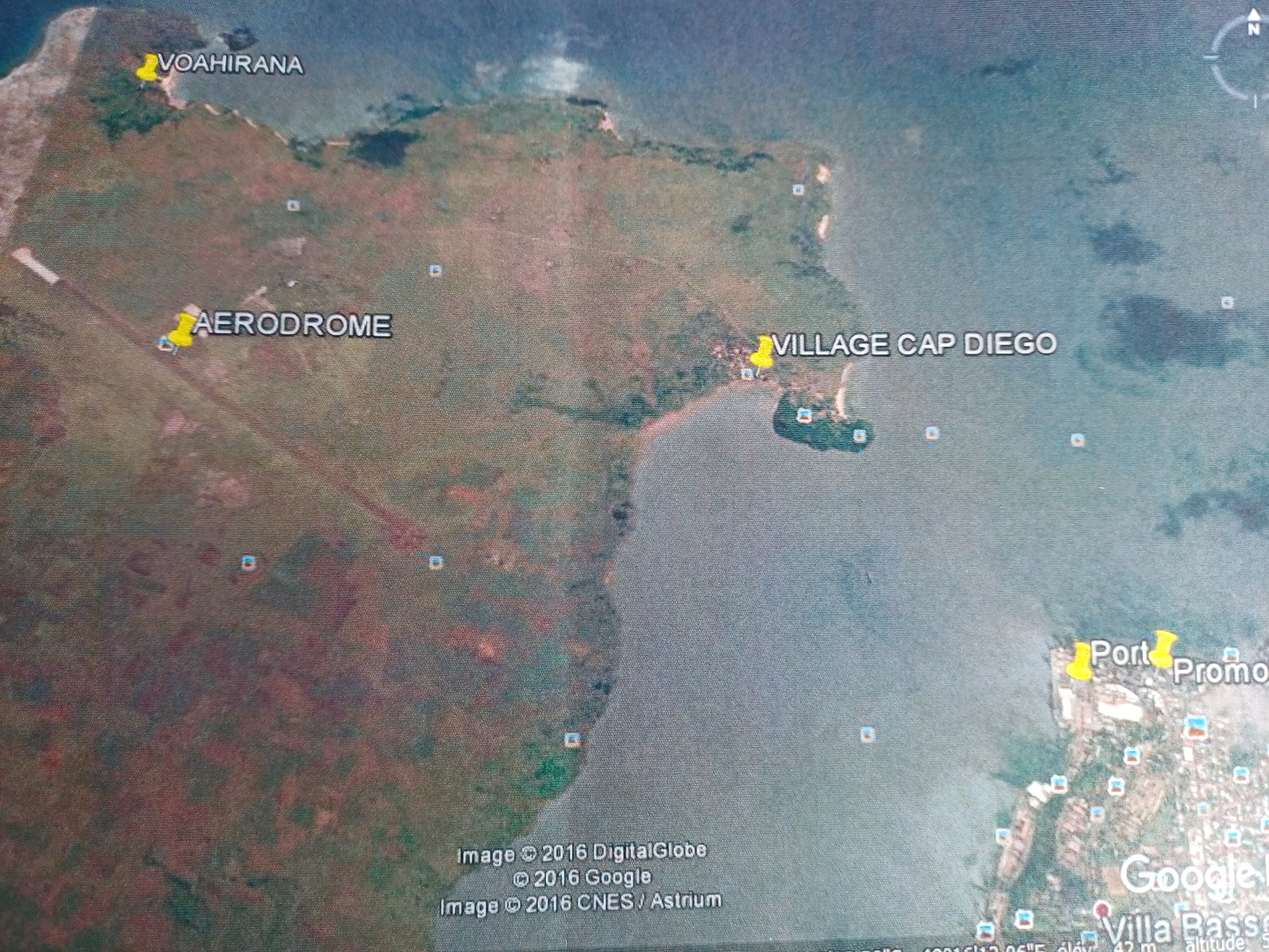
The interactive map link uses the GPS location of a family photograph. Parcel boundaries remain to be confirmed from the topographical plan.
Open the map in a new tab