Diego Suarez / Antsiranana
DIEGO SUAREZ & MADAGASCAR

Madagascar.
A different north.

From the bay of Diego Suarez to the forests of Montagne d’Ambre, a region revealed through its contrasts.

Anai171 · Photo source · CC BY-SA 4.0
01 / MADAGASCAR

An island apart,
in the Indian Ocean.

Off the east coast of Africa, Madagascar brings together remarkably different coastlines, forests and landscapes. This variety of habitats supports distinctive plants and wildlife, including many endemic species.

The island also reveals itself through cultures shaped by connections with Africa and Asia, living traditions and craft skills. Discovering Madagascar is as much about people and encounters as it is about scenery.

Madagascar tourism map

The Baie des Français in northern Madagascar
The Baie des Français, Antsiranana — photograph: Anai171 · Source · CC BY-SA 4.0
02 / ANTSIRANANA

Diego Suarez,
a city facing the bay.

Antsiranana, also known as Diego Suarez, is the largest city in northern Madagascar. Its maritime history and traces of its colonial and pirate past blend into a landscape where the sea is ever-present.

Around the bay, fishing villages, Ramena beach and boat excursions towards the Emerald Sea offer different ways to explore the coast. These destinations belong to the wider region; they are not on the property.

Three landscapes.
One region.

Forest, limestone and coastline. Places to discover beyond the property.

Montagne d’Ambre
Regional landscape · outside the property
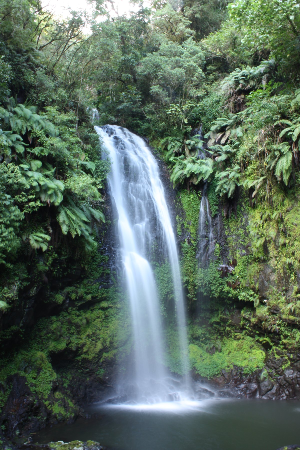
Marco Schmidt · Photo source · CC BY-SA 3.0
01 / EXPLORING THE NORTH

Montagne d’Ambre

Near Joffreville, the national park reveals tropical rainforest, streams, waterfalls and volcanic lakes. It offers a striking contrast to the more open landscapes along the coast.

Its trails provide an opportunity to discover forest habitats with suitable local guidance. Lemurs and chameleons are among the park’s natural attractions, although sightings cannot be guaranteed on any particular visit.
The tsingy of Ankarana
Regional landscape · outside the property
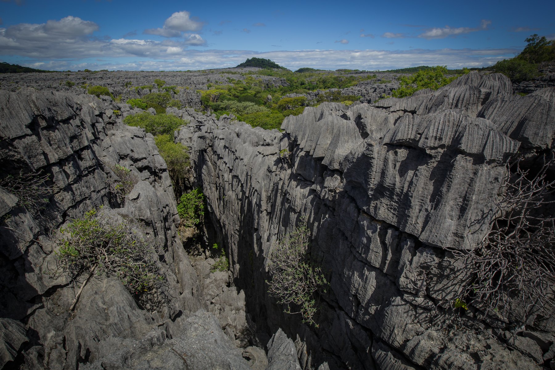
Thomas Fuhrmann · Photo source · CC BY-SA 4.0
02 / EXPLORING THE NORTH

The tsingy of Ankarana

Further south, the Ankarana Special Reserve changes the scenery again: limestone pinnacles, canyons, caves and dry forests.

Exploring these formations requires preparation with local guides and park staff. This is another aspect of northern Madagascar to consider as part of a stay, taking account of the season and travel conditions.

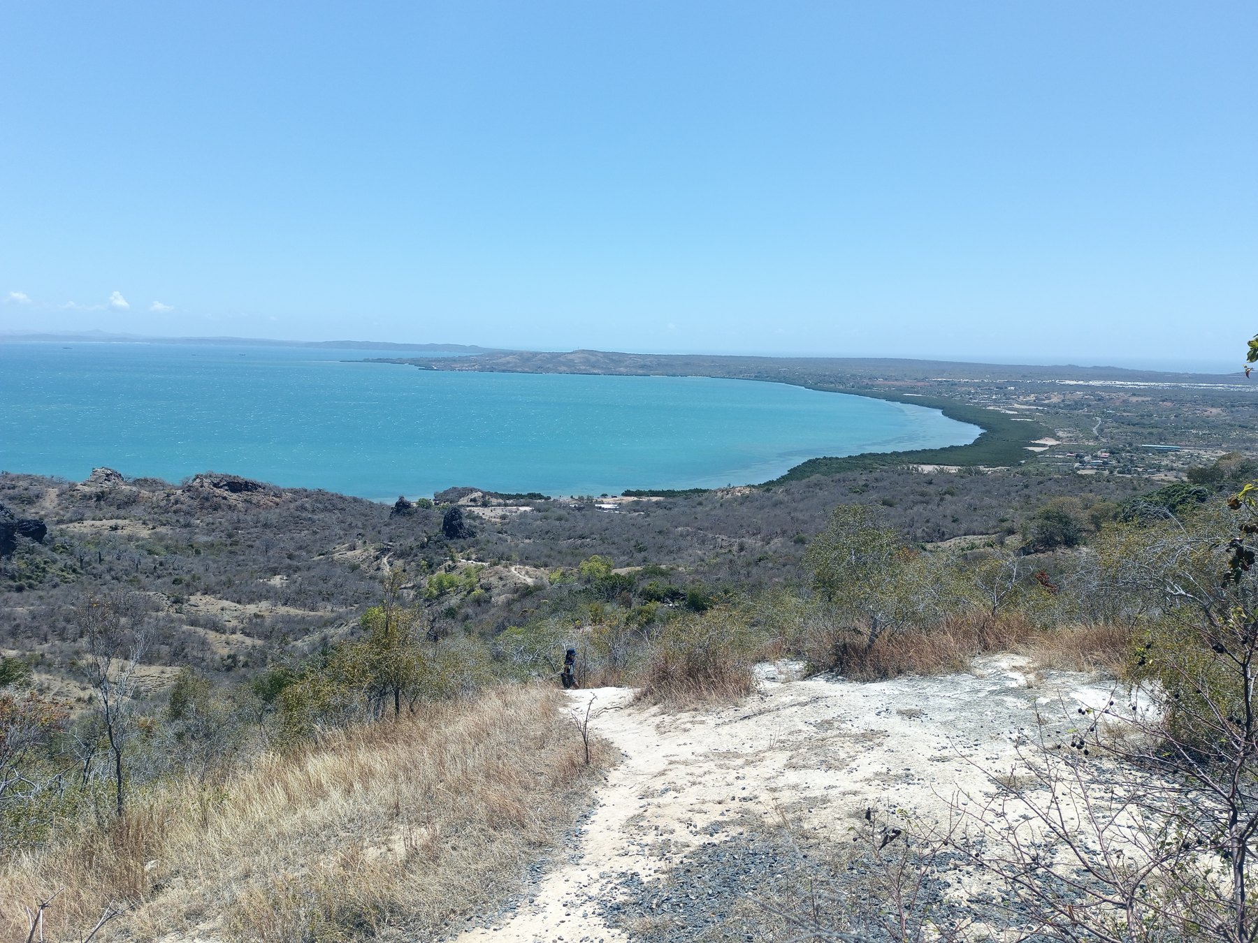
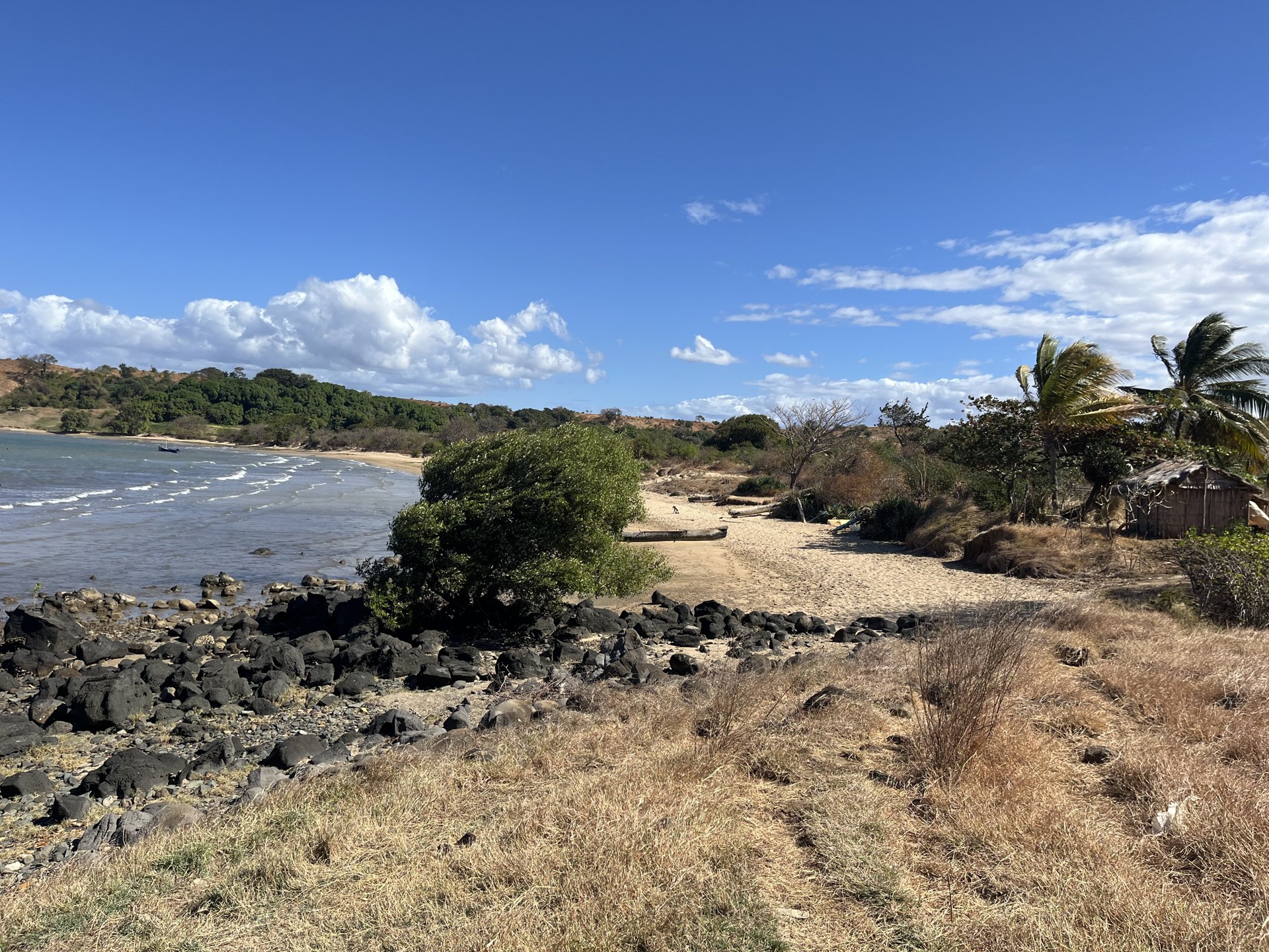
The coastline at Voahirana Bay
Voahirana Bay · photograph from the family collection
03 / VOAHIRANA BAY

Cap Diego,
a place to return to.

Voahirana Bay lies on the coast of Cap Diego. Views across the bay, wooded areas and natural slopes give the property its own distinct character.

For a home or a hospitality project, the wider region offers opportunities for exploration. Access and excursions would need to be planned: this website presents land for sale, not a holiday or tourism services.

Explore the estate

Planning a visit

Visits to the property are arranged with the family. For parks and excursions, contact local operators and check access conditions when planning your trip.

Sources and photographic credits

Office national du tourisme de Madagascar — Diego Suarez
ONTM — People and culture
Madagascar National Parks — Montagne d’Ambre
Madagascar National Parks — Ankarana

Regional images are documentary photographs under the licenses stated beside each image. They are resized for the web and may be cropped by the layout. Photographs of the property come from the family collection.

Price on request

A place to discover.
A conversation to begin.

Get in touch